Skip to Main Content
Workshop Beginner ODbL

Adding roads and buildings to OpenStreetMap (indoor workshop)

Proposal status is Withdrawn
Session Description

Duration: 120 minutes
Participants must bring laptops. Bringing a mouse or trackball is recommended. (You can make do with a trackpoint or trackpad, but it's less fun.)

OpenStreetMap is the Wikipedia of maps - a geographic database that is freely licensed for everyone to use, study, share, and modify.

OpenStreetMap can be used to replace Big Tech maps for search and navigation, with the added bonus that users can fix errors and add missing data immediately.

It's also used for urban planning, humanitarian missions, and games - anything that requires a machine-readable 2D/3D model of the world.

In this workshop, you will learn to use satellite imagery to add roads, buildings, etc to OpenStreetMap from the comfort of your laptop.

New participants will learn to use iD (the beginner-friendly web editor) to add roads, buildings, and other features.

Experienced participants can opt to learn about more advanced topics like JOSM, 3D buildings, indoor maps, and public transport routes.

Key Takeaways

End-users can use OSM through applications like Cartes.app, CoMaps.app, OsmAnd.net, and MapComplete.org.

Adding data to OSM is fun and addictive. It can be done from a laptop ("remote/armchair mapping") using the iD web editor on the OSM website, or on-ground ("mobile mapping") using mobile apps like StreetComplete, MapComplete, and Every Door.

OSM data takes the form of points, lines, and areas. Textual key-value pairs called tags are used to add define semantics and details.

The OSM India community has virtual and in-person events each month. Communities exist in cities like Bangalore, Delhi, Mumbai, and Chennai; we need an OSM community in every city of India.

OSM is complemented by other open data projects like Mangrove Reviews, Panoramax, and Wikimedia Commons.

References

Session Categories

Introducing a FOSS project or a new version of a popular project
Tutorial about using a FOSS project
Knowledge Commons (Open Hardware, Open Science, Open Data etc.)
Talk License: ODbL

Speakers
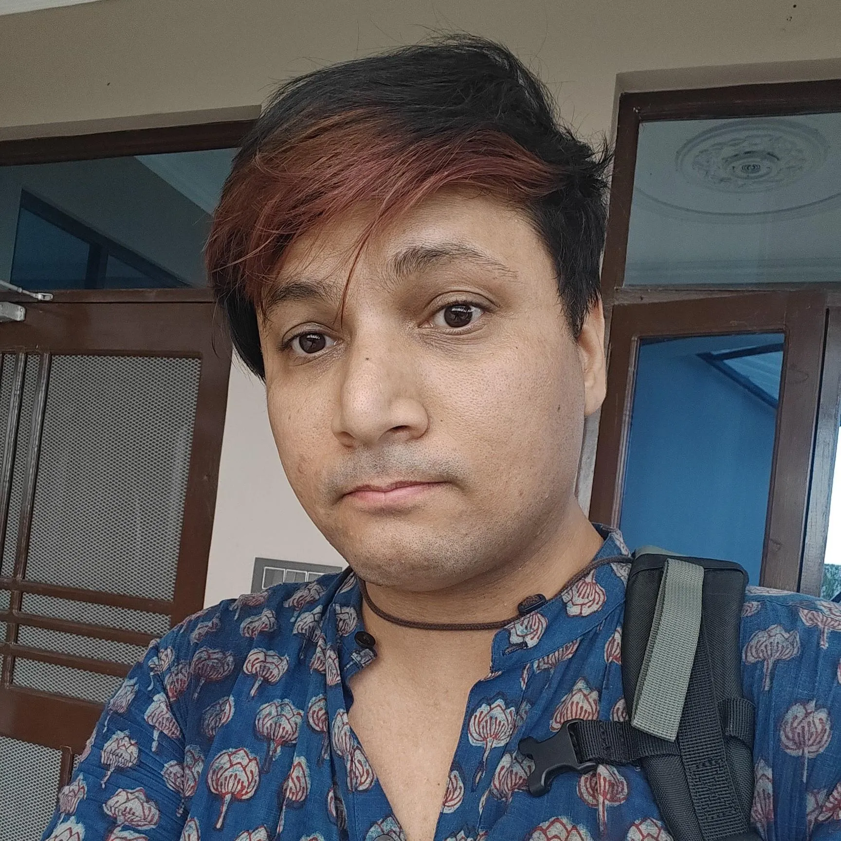
contrapunctus
contrapunctus Software Freedom Activist and OpenStreetMap Surveyor | Free Software Community of India

Kashish (she/her) a.k.a. contrapunctus is a software freedom activist and OpenStreetMap surveyor.

She has been an OpenStreetMap contributor since 2016, motivated by the desire to improve swatantra software ("FOSS") and protect privacy. She regularly hosts OSM workshops in Delhi and wherever else she happens to go.

She enjoys writing swatantra software, especially using the Lisp family of languages.